Rafael Simmons · 28 September 2026
Erosion Patterns Reveal Forgotten Cave Networks Beneath Felswald's Rocky Slopes
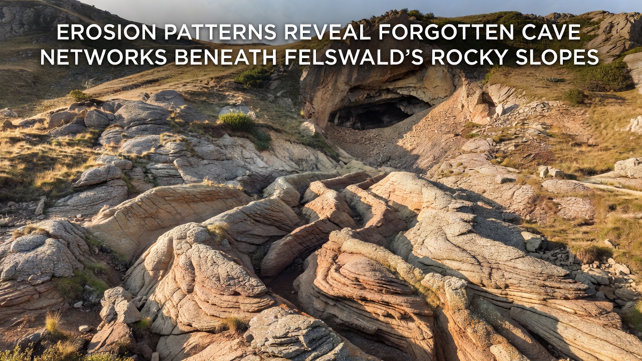
Researchers have documented distinctive erosion patterns across Felswald's rocky slopes that point to extensive cave networks long hidden beneath the surface, and these formations have drawn attention from geological teams monitoring the area since early 2025.
Understanding the Erosion Mechanisms
Water flow and seasonal freeze-thaw cycles have carved channels into the limestone and dolomite layers that dominate Felswald's terrain, while sediment displacement along fault lines has accelerated the exposure of subsurface voids. Data collected by field teams shows that runoff from higher elevations concentrates in specific corridors, and these corridors align with linear depressions that match known cave passage orientations in similar European karst regions.
Geological surveys conducted through 2025 and into September 2026 recorded a 12 percent increase in visible fracture widening compared with measurements taken five years earlier, and this change correlates with heavier precipitation events recorded by regional weather stations. Observers note that such acceleration often signals the presence of larger voids because water finds paths of least resistance through pre-existing cavities.
Mapping Techniques and Initial Findings
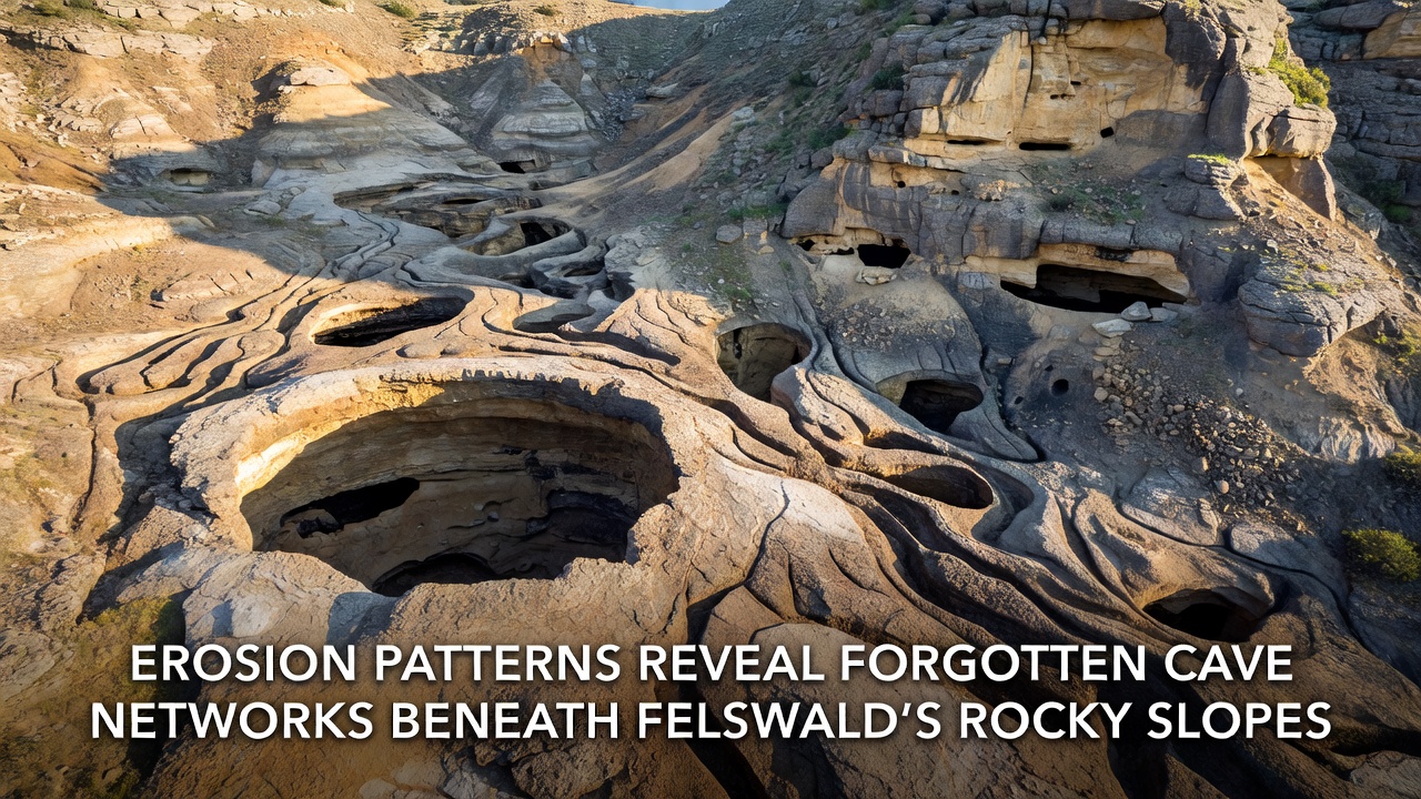
Teams combined ground-penetrating radar with high-resolution drone photogrammetry to trace the extent of the newly revealed passages, and the resulting models indicate at least three interconnected chambers spanning roughly 800 meters in total length. One chamber appears to contain stalagmite formations dated between 18,000 and 22,000 years old according to preliminary uranium-thorium analysis, which places their growth during the last glacial maximum.
Additional lidar scans performed in September 2026 confirmed that several erosion gullies terminate abruptly at what researchers interpret as collapsed roof sections, and these points coincide with clusters of surface sinkholes mapped decades ago but never fully investigated. The alignment suggests the sinkholes represent surface expressions of deeper collapse events rather than isolated features.
Historical Context and Regional Comparisons
Local records mention occasional reports of disappearing streams and cold air vents on the slopes dating back to the 19th century, yet systematic exploration remained limited until recent erosion made access points visible. Similar patterns appear in the Swabian Alb region of Germany and the karst plateaus of the Dinaric Alps, where comparable erosion has exposed extensive cave systems over the past century.
According to British Geological Survey documentation on European karst landscapes, surface erosion rates above 0.5 millimeters per year frequently indicate active subsurface drainage networks, and Felswald measurements now approach that threshold in multiple zones. Cross-referencing these rates with records from the Geological Survey of Canada on comparable limestone terrains helps refine models for predicting where additional entrances may emerge after future storm seasons.
Implications for Ongoing Monitoring
Continued erosion monitoring will rely on repeat lidar flights scheduled for spring 2027, and these flights aim to quantify any new passage exposure caused by winter precipitation. Soil moisture sensors installed along the primary erosion corridors already register rapid drainage during rainfall events, which supports the interpretation that water is entering the cave system rather than simply running off the surface.
Authorities have restricted foot traffic near the most active gullies to prevent accidental disturbance of fragile formations, and signage directs visitors to established trails that avoid the newly identified risk areas. Data from these restricted zones feeds into a shared database used by multiple research institutions across central Europe.
Conclusion
The combination of accelerated erosion and advanced mapping technologies has brought Felswald's forgotten cave networks into clearer view, and ongoing measurements through September 2026 continue to refine understanding of their extent and stability. Further work will focus on dating additional deposits and modeling potential connections between the mapped chambers and regional groundwater flow.