Rafael Simmons · 14 September 2026
Remote Sensing Technology Highlights Vegetation Dynamics on Felswald Rocky Hillsides
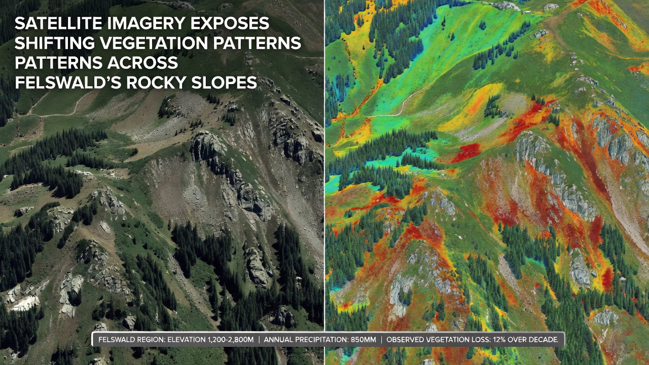
Researchers have applied satellite data from multiple orbital platforms to document changes in plant distribution along the steep rocky inclines of Felswald and these observations span several years of continuous monitoring that began well before September 2026 when additional high-resolution scenes became publicly available through coordinated international archives.
Background on Felswald Terrain and Monitoring History
Felswald occupies a distinctive geological setting in central Europe where exposed rock faces meet thin soil layers and this combination creates microhabitats that respond quickly to shifts in temperature and precipitation patterns recorded by ground stations over decades while observers note that vegetation here tends to cluster in fissures and along lower gradients where moisture accumulates more reliably.
Data from programs operated by agencies such as the European Space Agency and NASA have supplied consistent coverage since the early 2000s and analysts combine these records with newer Sentinel-2 passes to track normalized difference vegetation index values across the slopes which allows detection of both gains and losses in green cover without requiring constant field visits that would prove impractical on the rugged terrain.
Methods Used in Recent Analyses
Teams process multispectral imagery through established algorithms that isolate chlorophyll absorption bands and researchers cross-reference results against digital elevation models to account for aspect and slope angle effects because south-facing sections often show different trajectories than their north-facing counterparts due to varying solar exposure and wind patterns that influence evaporation rates.
Validation steps include comparison with occasional drone surveys and limited ground plots where accessible and this layered approach confirms that satellite-derived trends align with on-site measurements collected during the same seasonal windows which strengthens confidence in the broader spatial patterns identified across hundreds of hectares.
Documented Shifts in Plant Cover
Imagery captured between 2018 and 2026 reveals a gradual contraction of dense shrub communities on upper slopes while lower elevations exhibit expansion of herbaceous layers in several mapped sectors and these alterations coincide with recorded periods of reduced summer rainfall that have affected soil moisture retention in shallow pockets.
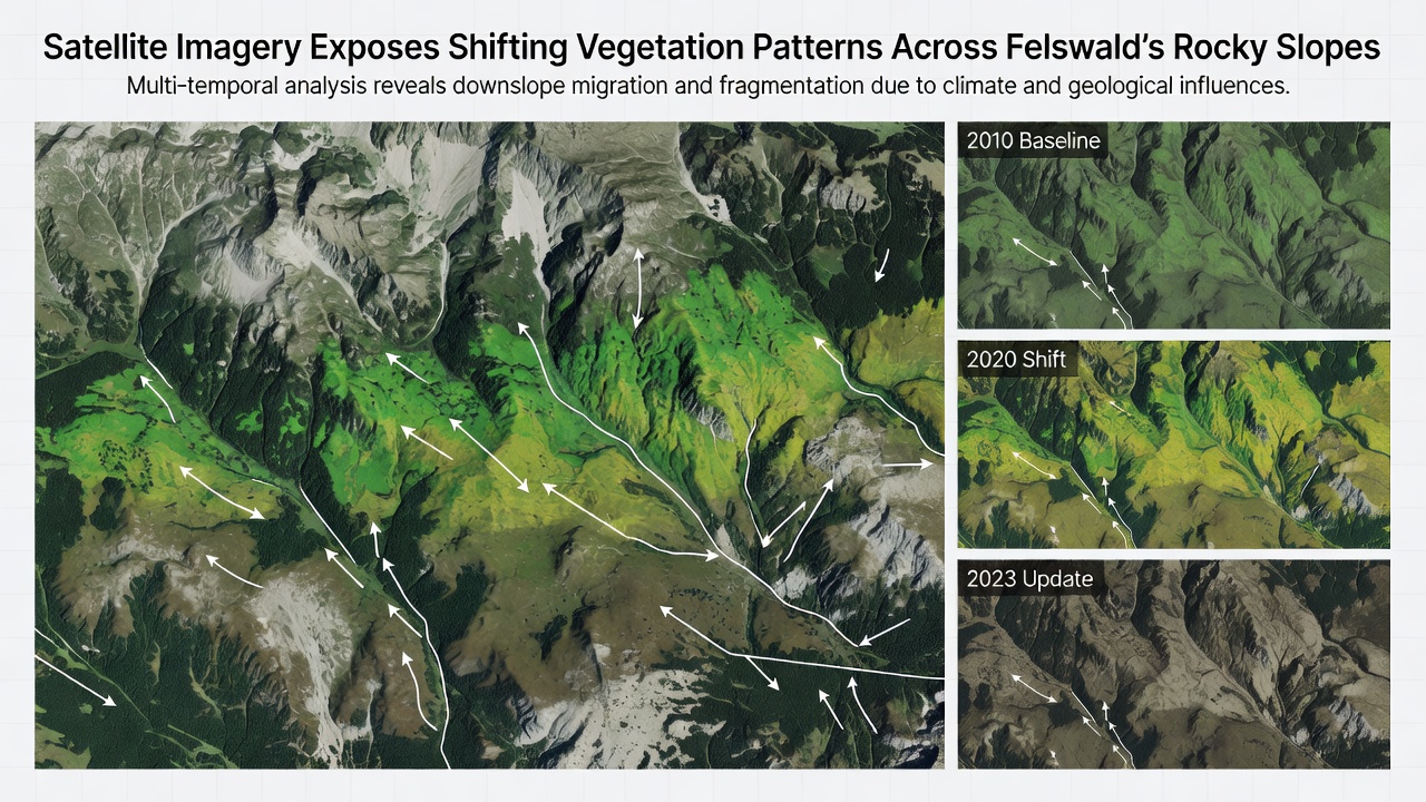
Time-series composites further indicate that certain coniferous patches have thinned noticeably whereas deciduous species appear to have maintained or slightly increased their footprint in sheltered ravines and analysts attribute part of this redistribution to differential drought tolerance among the dominant taxa present in the rock forest setting.
Contributing Environmental Factors
Long-term climate records from regional meteorological services show rising average temperatures and altered precipitation timing that reduce snowpack duration and increase evaporation during critical growth periods and these conditions interact with the already limited substrate depth to create stress gradients visible from orbit.
Additional influences include occasional wildfire events that reset succession in isolated patches and browsing pressure from local ungulate populations that can suppress seedling establishment in more open areas and satellite sequences capture both the immediate post-disturbance bare ground signatures and the subsequent recolonization phases over multiple seasons.
Regional Context and Related Studies
Similar monitoring efforts across other European upland sites have produced comparable findings according to reports from the European Environment Agency which aggregates vegetation index trends from multiple mountain ranges and these broader datasets place Felswald observations within a pattern affecting comparable rocky habitats under changing climatic conditions.
Parallel work conducted by Australian research institutions using Landsat archives has documented analogous shifts in arid-zone vegetation communities and the methodological overlap allows cross-continental comparison of response rates even though the specific species differ substantially.
Conclusion
Continued acquisition of satellite scenes through upcoming orbital missions will extend the existing time series and enable finer detection of seasonal anomalies as well as longer-term trajectories and integration with climate projection models offers one pathway to anticipate future configuration of plant communities on Felswald slopes based on the patterns already quantified.