Carlo Otto · 26 October 2026
Sediment Layers in Felswald Caves Offer Clues to Regional Climate History
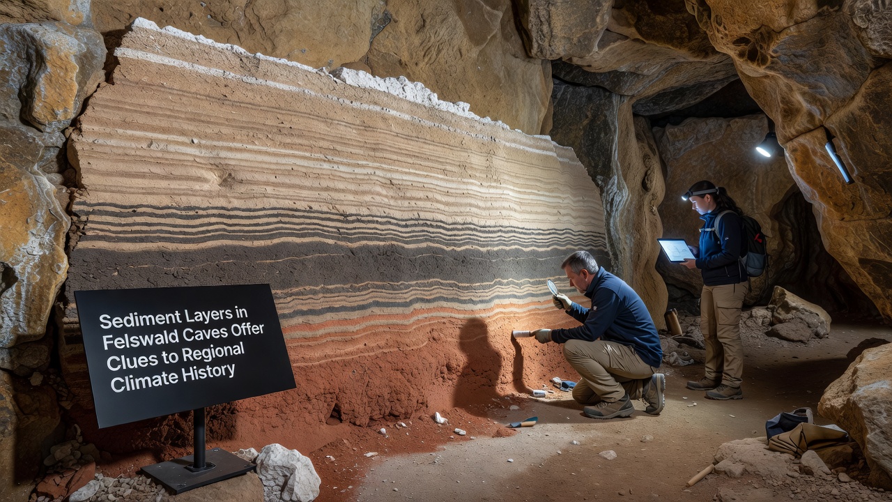
Researchers have examined sediment layers in the Felswald cave network for several years and these deposits contain records of past environmental conditions across the region. Layers of clay, silt, and mineral precipitates accumulate over millennia and each band reflects changes in precipitation patterns, temperature shifts, and vegetation cover on the surface above. Teams from multiple institutions collected core samples during field seasons that extended into October 2026 and analysis of those samples revealed consistent sequences that align with broader European climate reconstructions.
Formation Processes Behind the Deposits
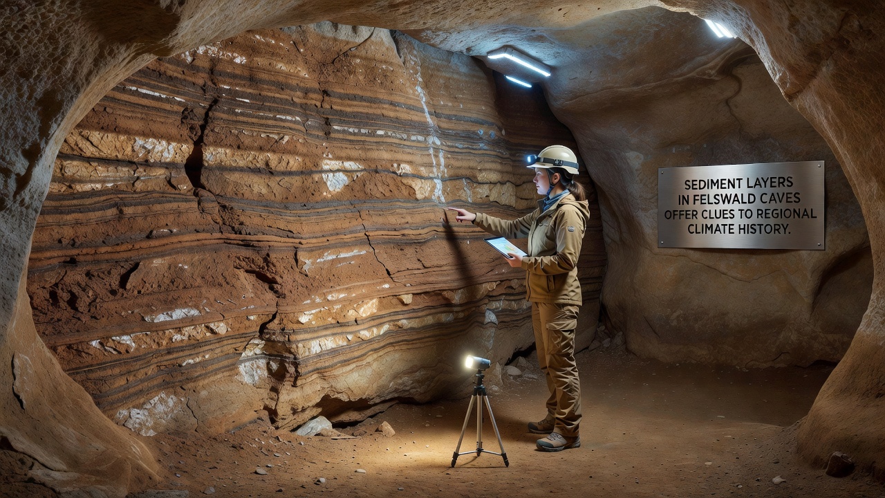
Water carries fine particles into the caves through cracks and fissures while drip water deposits calcite and other minerals on existing surfaces and this combination creates the visible stratification that geologists study today. Flood events introduce thicker sediment pulses whereas drier periods allow slower mineral accumulation and those differences produce the alternating light and dark bands visible in exposed walls. Observers note that the cave systems in Felswald sit beneath a rocky plateau where surface runoff concentrates during heavy rains so the underground record captures both local hydrology and regional atmospheric trends.
Climate Signals Encoded in the Layers
Isotopic ratios within the calcite bands provide temperature estimates while pollen grains trapped in the silt layers indicate shifts in surrounding plant communities and these proxies together build a timeline that stretches back thousands of years. Data from the cores shows periods of increased moisture around 4,000 years ago followed by intervals of reduced rainfall that coincide with known drought episodes documented elsewhere in central Europe. Researchers cross-reference these findings with tree-ring records and lake sediment studies to strengthen the regional picture and the combined evidence points to recurring cycles of wetter and drier centuries rather than steady progression.
Methods Used in Recent Investigations
Scientists employed high-resolution imaging and X-ray fluorescence scanning on the extracted cores to map elemental composition at millimeter scales and this approach allowed identification of flood layers that stand out through elevated titanium and potassium concentrations. Radiocarbon dating on organic fragments embedded in the sediments established chronological control while uranium-thorium methods dated the older calcite sections and together these techniques produced a continuous sequence covering the Holocene epoch. One study coordinated by a consortium of European universities released preliminary results in October 2026 that confirmed the presence of a pronounced arid phase between 1200 and 1400 CE matching historical accounts of reduced agricultural output in nearby valleys.
Regional Context and Comparisons
The Felswald record adds detail to existing paleoclimate maps because the cave location sits at an elevation where both Atlantic and continental air masses influence precipitation and this dual exposure makes the deposits sensitive to shifts in storm tracks. Comparisons with sediment sequences from the Harz Mountains and the Swiss Alps show overlapping patterns of medieval drought while the Felswald layers also capture shorter events such as the 1816 "year without summer" that followed major volcanic eruptions. According to records maintained by the European Environment Agency these events left measurable traces in multiple archives across the continent and the cave data strengthens the spatial resolution of those reconstructions.
Analysts have also linked certain thick silt horizons to historical deforestation phases when increased erosion delivered more material underground and this human influence appears superimposed on the natural climate signal after the medieval period. Yet the dominant pattern remains driven by temperature and rainfall variability rather than land-use change alone and separating these factors requires careful comparison with independent proxies such as speleothem oxygen isotopes.
Future Research Directions
Ongoing monitoring of active drip sites inside the caves tracks current sedimentation rates and this modern baseline helps interpret the older layers with greater precision. Plans for additional drilling campaigns target deeper sections that may extend the record into the late Pleistocene and those efforts could reveal responses to earlier glacial-interglacial transitions. Collaboration with institutions in Canada and Australia has introduced comparative datasets from similar karst environments and the shared methodologies improve calibration across different geographic settings.
Conclusion
The sediment archive preserved in the Felswald caves continues to supply detailed information about how regional climate has varied through time and the combination of multiple dating methods with geochemical analysis supports increasingly refined interpretations. As more cores undergo processing the timeline gains resolution and connections to surface conditions become clearer while the work also informs understanding of how similar cave systems elsewhere might respond to ongoing environmental change.