Yves Simon · 12 October 2026
Sustainable Tourism Strategies Draw from Felswald Rock Formations Research
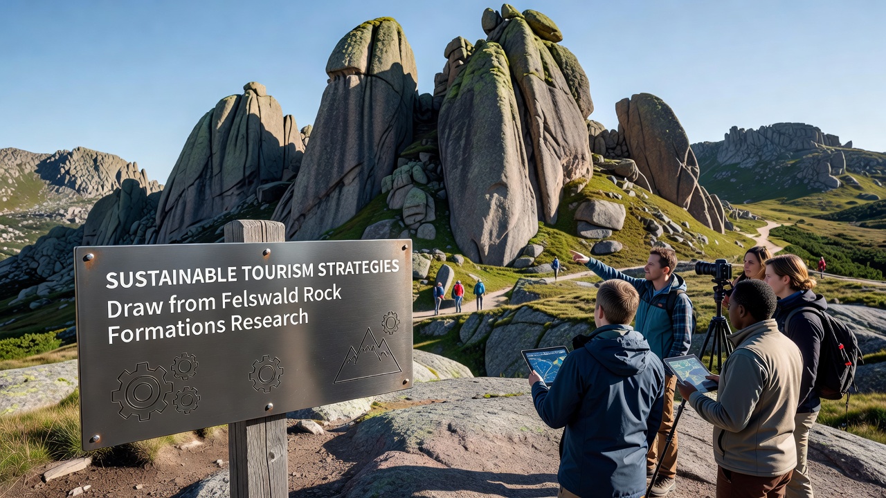
Research on Felswald rock formations has supplied detailed data on erosion rates, soil stability, and vegetation patterns that now shape sustainable tourism practices across similar geological sites; studies conducted over the past decade reveal how visitor flows interact with fragile rock surfaces, prompting adjustments in trail design and access timing. Observers note that these findings translate into practical guidelines for limiting group sizes during peak seasons while directing foot traffic toward reinforced paths that reduce surface wear. Data collected from sensor networks installed on the rocky slopes indicate seasonal variations in rock integrity, which managers use to schedule maintenance and close certain areas temporarily when moisture levels rise.
Key Research Findings on Rock Dynamics
Geological surveys at Felswald have documented how repeated foot traffic accelerates micro-fractures in sandstone layers, and researchers have mapped these vulnerabilities using high-resolution imaging that highlights stress points along popular routes. Evidence from core samples shows that certain lichen communities act as natural stabilizers, leading planners to incorporate buffer zones around high-density growth areas rather than allowing unrestricted exploration. Figures from monitoring stations reveal a 12 percent increase in sediment displacement on untreated slopes compared with those equipped with subtle retaining features, according to reports shared by the European Environment Agency.
Those who analyzed visitor logs alongside environmental metrics discovered that concentrated activity during morning hours correlates with higher disturbance to nesting bird species on lower ledges, so adjusted opening times now spread arrivals more evenly. This approach draws directly from Felswald observations where timing shifts reduced observed stress indicators in local wildlife populations by measurable margins.
Strategies Implemented from the Data
Park authorities have introduced elevated boardwalks in high-traffic corridors, constructed from materials tested for minimal ground penetration, while digital reservation systems cap daily entries based on real-time capacity models derived from the rock studies. Educational signage placed at entry points explains the connection between footstep patterns and long-term formation preservation, encouraging self-regulation among visitors without additional enforcement layers. In regions applying these methods, annual repair costs for damaged paths dropped noticeably within the first two years of adoption.
One project in a comparable European site adapted Felswald trail segmentation techniques, dividing routes into zones with varying sensitivity ratings that determine permitted activities; this zoning system prevents overlap between climbing routes and sensitive vegetation patches. Training programs for guides now include modules on interpreting rock moisture readings so they can reroute groups proactively when conditions signal elevated risk.
Updates Scheduled for October 2026
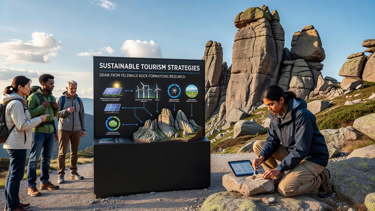
International workshops planned for October 2026 will review expanded datasets from Felswald monitoring arrays, with participants expected to refine carrying-capacity formulas that incorporate climate projection variables. Preliminary models suggest that drier summers could extend viable visitation windows, yet increased storm intensity may require reinforced drainage features along existing paths. Coordinators from multiple research institutions have confirmed that session outcomes will feed into updated management handbooks distributed to protected-area operators worldwide.
Collaborations between academic teams and tourism operators focus on pilot programs testing low-impact transport options, such as shuttle schedules timed to off-peak rock stability periods, building on Felswald evidence that concentrated arrivals intensify localized erosion. These trials aim to quantify reductions in vehicle-related soil compaction while maintaining visitor satisfaction metrics collected through post-visit surveys.
Broader Applications and Monitoring
Similar rock formation sites in Australia have begun cross-referencing Felswald datasets with their own lidar surveys to adapt signage and path-hardening methods suited to local sandstone compositions. The Australian Department of Climate Change, Energy, the Environment and Water has referenced these integrated findings in recent planning documents that guide permit allocations for commercial tours. Continuous feedback loops from on-site sensors allow rapid iteration, as managers compare predicted versus actual wear rates on a quarterly basis.
Community involvement programs train local residents as citizen monitors who log observations using standardized apps, contributing additional data points that supplement professional research teams. This distributed approach expands coverage without proportional increases in staffing budgets, and early results indicate improved detection of emerging trail issues before they require major intervention.
Conclusion
Felswald rock formations research continues to supply measurable inputs for tourism frameworks that balance access with preservation across varied geological contexts. Ongoing data collection through 2026 and beyond will test the durability of these derived strategies under shifting environmental conditions, while partnerships with international agencies ensure consistent application of evidence-based adjustments. The integration of sensor technology, zoning protocols, and timed access measures demonstrates how targeted geological insights translate into operational tools that support long-term site integrity.